As its name indicates, it was the third island of the Azores Archipelago to be discovered, after Santa Maria and São Miguel.
Terceira Island is approximately 29 km long and 18 km wide, with a perimeter of 90 km and an area of 402.2 km². The highest point on the island is at an altitude of 1022 m and is located in the Serra de Santa Bárbara mountain range, on the west side.
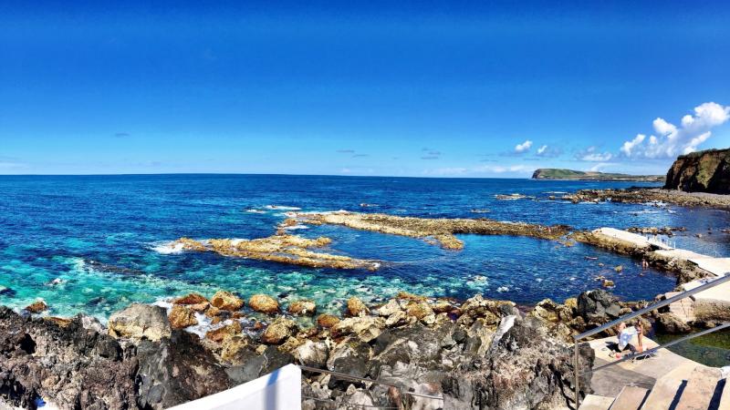
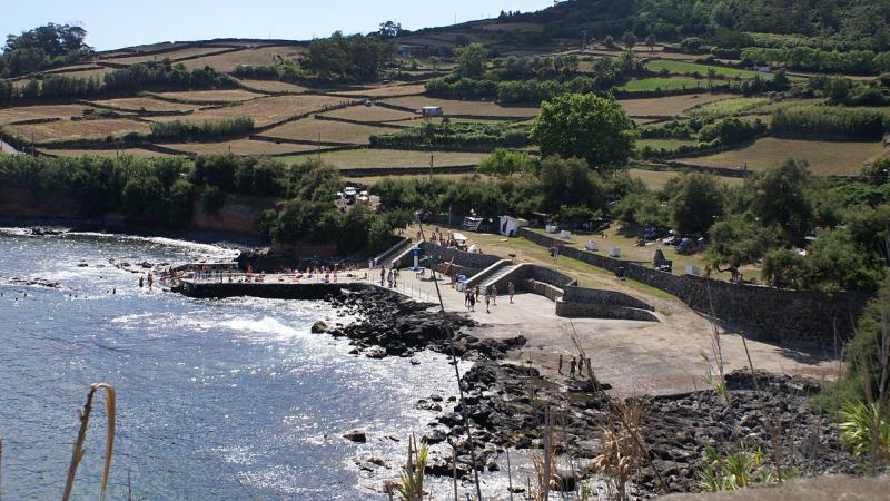
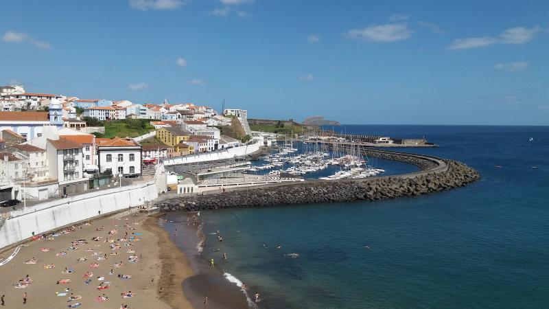
The island's geomorphology results in highly varied and beautiful landscapes, divided between plains like Achada and mountain ranges like Santa Bárbara. Notable natural features include the Guilherme Moniz Caldera, one of the island's largest, the Lagoa das Patas or Lagoa da Falca, which together with "Os Viveiros" form a harmonious ensemble, and the Chã das Lagoinhas, in the Algar do Carvão geological reserve. Also noteworthy is the dismantled Serra do Cume complex in the eastern zone, from whose summit Praia da Vitória and Lajes can be seen. The western part of the island is covered in lush vegetation, dominated by cryptomeria trees. On the north coast, one can observe the "Mistérios" point and the Biscoitos bathing area, with traces of volcanic eruptions. Inland, the Algar do Carvão and Furnas do Enxofre caves are worth noting.
Its population is 55,833 inhabitants. A large part of the population derives their income from livestock farming and services.
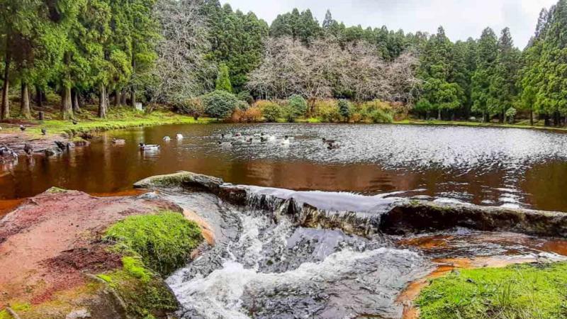
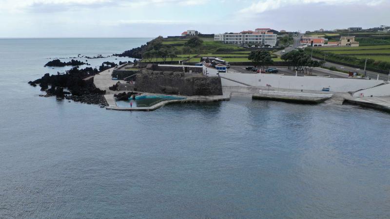
There is also the Serreta Lighthouse, and the Serra do Morião or Serra da Nasce Água, with its maximum altitude of 632 m, facing the city of Angra do Heroísmo, constitutes a unique feature in itself. The Pico da Bagacina, rising from the sea, is a large forest reserve that shelters many species of fauna and flora. The Lagoa do Ginjal, despite its small size, has unique plants protected by law.
Lagoa do Negro, which is located above Gruta do Natal.
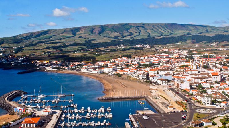
The Mirante do Facho viewpoint, in the municipality of Praia da Vitória, offers a panoramic view over the city of Praia da Vitória.
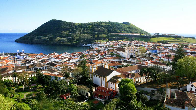
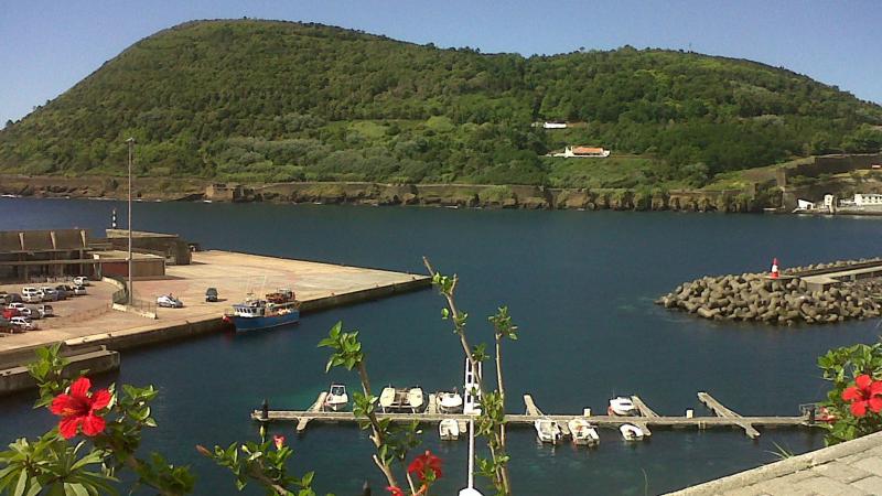
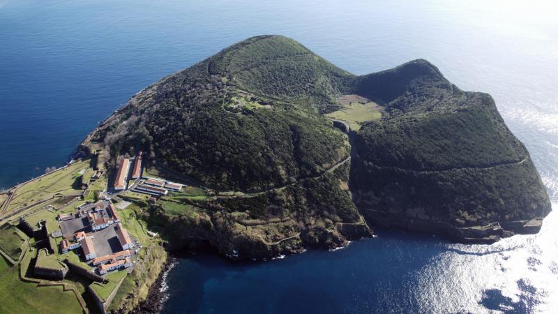
Monte Brasil, at the city's gates, houses the São João Batista Fortress. The Duque da Terceira Garden, almost a botanical garden, boasts many exotic plants brought from the beginning of maritime adventures. The Ilhéus das Cabras (Goat Islets) offer a nesting site for the various marine species that roam the coast.
It can also be stated that the geomorphology of Terceira Island presents a rather rounded shape with a single, quite pronounced peninsula, which is the Monte Brasil volcano.
Its highest point is in the Serra de Santa Bárbara, which rises to 1021 m, and it features an extensive plain that stretches from the Serra da Ribeirinha, in the municipality of Angra do Heroísmo, to the Serra do Cume in the municipality of Praia da Vitória. According to the Revista de Estudos Açorianos, Vol. X, Fasc. 1, page 49, December 2003.
The geomorphology of Terceira Island is dominated by four large stratovolcanoes and numerous monogenetic volcanic cones located in important fractures. From west to east, the following polygenetic volcanic structures are listed successively, truncated by imposing calderas: the Serra de Santa Bárbara; the Serra do Morião Massif and the Guilherme Moniz Caldera Massif; the Pico Alto Massif and the dismantled Serra do Cume Complex; the Serra da Ribeirinha and the Cinco Picos Caldera.
Source: Wikipédia

Terceira – lilac island – through the lilac trellises

Its biodiversity is vast, and there is much to do and discover. Beyond the richness and breathtaking beauty of its natural landscapes, the island is known for its unique heritage. Palaces, mansions, convents and churches, forts, fortresses, landscaped gardens, streets and alleys teeming with life and color are the reason why the central area of the city of Angra do Heroísmo was included on UNESCO's World Heritage List in 1983.